Ovens and Murray Land Survey offers comprehensive services tailored to meet the specific needs of residential, commercial, and industrial development projects in New South Wales and Victoria. With a keen focus on precision and efficiency, our team excels in boundary surveys, subdivision planning, and land title assessments, ensuring seamless navigation through the intricate regulatory frameworks of both states. Whether it’s guiding residential developers through zoning regulations, assisting commercial entities with site analysis and feasibility studies, or facilitating industrial ventures with topographic surveys and infrastructure planning, we are committed to delivering accurate, reliable, and timely solutions. Our expertise spans the entire development process, from initial conceptualization to final approval, providing clients with the confidence to move forward with their projects. Please see below our full list of Surveying and Planning Services!
Management of Spatial Data
- Generating and combining datasets for the purpose of optimising land use
- GPS Data use
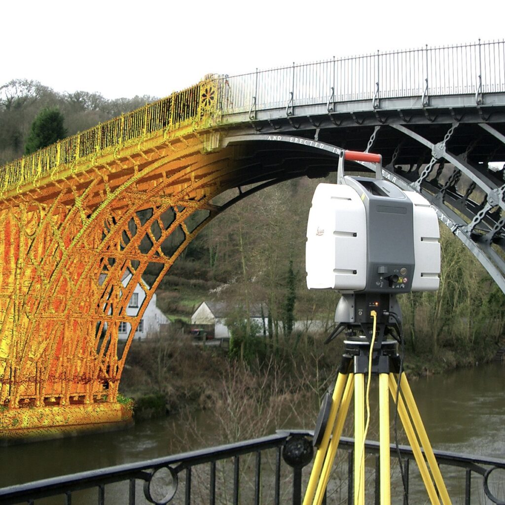
- 3D Laser Scanning
- Aerial Photogrammetry
- Traditional surveying methods


Project Management and Project Co-ordination
- Work alongside our clients to find potential development opportunities
- Feasible studies
- navigating regulatory requirements
- Customised commercial outcomes
- project managing with best practice, delivering desired results in a timely manner
Development Consultancy
- Preparation of development plans and sub-division feasibility
- Planning applications
- Development applications
- Coordination of specialist reports addressing regulatory requirements
- Creation and alterations of titles, land use rights and restrictions (sub-division)

Additional Services
Cadastral and Land Development
- Creation / removal and variations of restrictions and easements
- Application title
- Application survey / adverse possession
- Sub-divisions ranging in size from 2 to 500 lots
- Preparation and lodgment of plan of sub-division
Set-out Surveys and Mass Spatial Data Capture
- Building grids
- Utilising drone and scanning technologies
- Infrastructure works and earthworks
- Calculations of volumes and quantities
- As-constructed surveys and plan preparation
- Defamation surveys
- Spatial Mapping / GIS (Geographic Information Systems)
- Collection of mass spatial data for integration in GIS
- Flood mapping
Existing Conditions Surveys
- In support of engineering design
- Road Construction
- Strip surveys for service routes
- Infrastructure upgrade
- Establishment of site control and datum transfer
Project Management and Consultant Coordination
- Work alongside our clients to find all opportunities for your property
- Feasibility studies
- Interpreting regulatory requirements of governing bodies
- Customised commercial outcomes
- Project managing with best practice, delivering desired results in a timely manner
Tenancy Surveys
- Net lettable area

